
This project was funded by the Australian Government ($6.3 million). Australian Government funding was provided through the National Water Grid Fund.
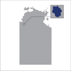
The CSIRO conducted a water resource assessment in the Victoria River, Northern Territory.
Project overview
Water resource assessments provide important information. They help us understand the benefits and constraints of water development and infrastructure decisions. This is especially important when considering further development and infrastructure in northern Australia.
Most rivers in northern Australia are not regulated. Current surface and groundwater allocations are small.
CSIRO conducted a water resource assessment in the Victoria River, Northern Territory (NT). They worked with the NT Government, research partners and communities.
The assessment was undertaken alongside similar assessments in the:
- Roper River Catchment
- Southern Gulf catchments.
These assessments build on previous Australian Government investment. Including the Northern Australian Water Resources Assessment project, which widely assessed the catchments.
Goals of the assessment
The assessment aimed to:
- fill knowledge gaps on resources. This included:
- water availability
- land suitability
- existing uses
- impacts of different types of development
- scales of extraction
- identify and evaluate water capture and storage options
- assess commercial viability of irrigated agriculture and aquaculture opportunities
- provide long-term knowledge base and legacy datasets to help understand trade-offs for water resource development
- examine the impacts on ecosystems, and Indigenous rights, values, and development aspirations
- support the NT government in water planning – foster sustainable water allocation decisions and use.
Project outcomes
The assessment found:
- small- to moderate-scale water infrastructure is possible
- increased irrigated agriculture could generate significant economic and employment benefits
- increased surface water or groundwater use is possible, depending on the location
- up to $280 million could be provided in economic activity
- 185 full-time jobs could be created
- development depends on the alignment with environmental safeguards, community expectations, and government policies
- there are unique ecological values, including nationally significant wetlands and habitats
- careful planning is important—particularly in the face of climate variability
- Indigenous communities make up most of the catchment population. They have expressed strong aspirations for inclusive development.
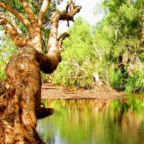
About the Victoria River
The Victoria River is in the Victoria Bonaparte bioregion of the Northern Territory. It flows for 560 km from the Judbarra / Gregory National Park to the Joseph Bonaparte Gulf in the Timor Sea. It has 56 waterways, including:
- Camfield River
- Wickham River
- Battle Creek
- Angalarri River
- Gidyea Creek
- Armstrong River.