This project was funded by the Australian Government ($252,213). Australian Government funding was provided through the National Water Grid Fund.

The appraisal aimed to identify regions where water infrastructure could be developed to support new or expanded agriculture.
Project overview
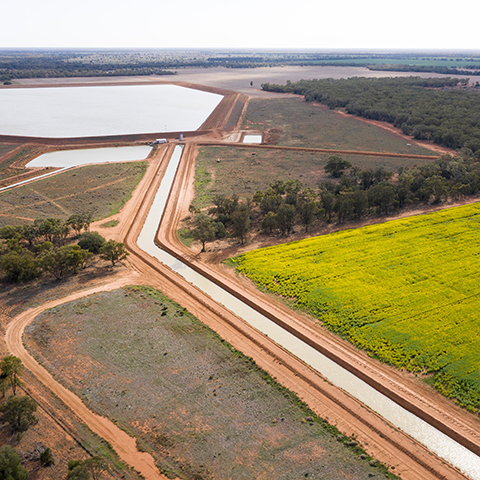
The project assessed opportunities for new water infrastructure to support irrigated agriculture. It considered groundwater-based systems around Australia and surface water systems in northern Australia.
It identified areas where developing water infrastructure could support new or expanded agriculture. The desktop study used available data and a clear set of criteria. The reviewed data helped inform the final outcomes. The study included expert knowledge from experienced authors.
Assessment outcomes
The research identified:
- areas which can support new or expanded groundwater irrigation
- areas which can’t support new or expanded irrigation
- areas which need further research before a decision is possible.
The study reviewed intermediate to regional-scale groundwater systems. NT and WA had the greatest opportunities for future groundwater development.
Fractured, fissured or highly porous sandstone had the greatest potential development opportunity. Dolostone or limestone aquifers that aren't fully developed were also an option.
Any future groundwater development will need a formal application for a groundwater licence. This will include:
- a hydrogeological investigation
- an assessment of the impacts on existing groundwater users and cultural heritage.
Key project benefits
Learn more
- Explore our Science Program.
- Visit CSIRO’s rapid national appraisals of new groundwater-based Infrastructure opportunities project page.

