The project is being funded by the Australian Government ($12.5 million) and the Queensland Government ($13 million). Australian Government funding is provided through the National Water Grid Fund.

The project will investigate options to mitigate rising groundwater levels and high salinity.
Project overview
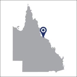
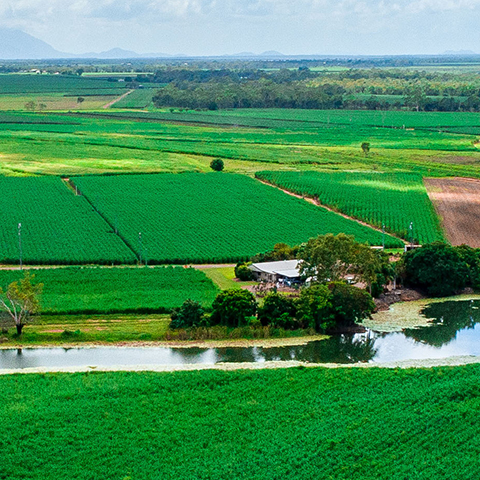
Rising groundwater and soil salinity is a threat to agricultural production in the Lower Burdekin region. It leads to run-off which impacts downstream environments, such as the Great Barrier Reef and Ramsar wetlands at Bowling Green Bay.
The project will investigate options to mitigate rising groundwater levels and high salinity. It will then implement the strategy identified to best address the issue.
Options being explored include:
- groundwater extraction bores to track groundwater levels and water quality
- upgrades to a section of Channel H10
- improving the efficiency of the Gladys Lagoon water distribution system.
These steps will help to ensure the Scheme will be sustainable over the long term. It will also minimise environmental impacts.
Construction is expected to commence in mid-2025 and be complete in late 2026.
Key project benefits
Learn more
- Find out more about water in Australia.
- Read more about the business case undertaken in the region.
- Read our latest news about the Burdekin Basin.

