
This project is jointly funded by the Australian Government ($1.12 million) and the South Australian Government ($480,000). Australian Government funding is provided through the National Water Grid Fund.
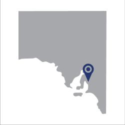
This research trial will address the challenges of increasing agricultural expansion north of Adelaide (Mallala to Balaklava) using groundwater resources.
Project overview
This project is a research trial that will be undertaken over 3 years. It will address the challenges of increasing agricultural expansion north of Adelaide (Mallala to Balaklava) using groundwater resources.
Goals of the assessment
This project will provide identification and modelling of water volumes and quality. A report will be provided including assessments on available water use for growing crops in the region. This report will include mitigation strategies under current and future climate scenarios.
The project will:
- develop and optimise agronomic modelling
- assess groundwater volume and quality
- assess potential impacts associated with irrigation expansion on the local environment
- assess off farm desalinisation and low-cost energy options
- investigate storage, brine disposal and infrastructure options for future investigations.
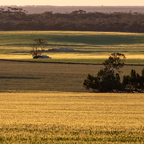
About the Northern Adelaide Corridor
The Northern Adelaide Plains are ancient flood plains of South Australia that are located between the Gulf St Vincent, the foot of the Mount Lofty Ranges, and stretching towards the Flinders Ranges.
Key project benefits
Learn more
- Learn more about our Science Program.
- Find out more about water in Australia.
- Read our latest news.