This project is jointly funded by the Australian Government ($1.5 million) and the South Australian Government ($500,000). Australian Government funding is provided through the National Water Grid Fund.

This project focuses on adaptation of the drainage system in the Limestone Coast Landscape Region of SA.
Project overview
This project focuses on adaptation of the drainage system in the Limestone Coast Landscape Region of South Australia.
It will explore the potential to retain and redirect water in the landscape to mitigate risks and build resilience to the benefit of multiple primary industries and the environment.
Goals of the assessment
The project outcomes include a report which will include information on:
- the southeastern drainage system water balance
- generic groundwater feasibility models
- localised groundwater models
- detailed soil, water and solute modelling
- infrastructure options.
This project will include:
- monitoring of groundwater, soil moisture and drains for 2 consecutive years
- aerial geophysics data analysis.
About the Limestone Coast
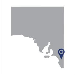
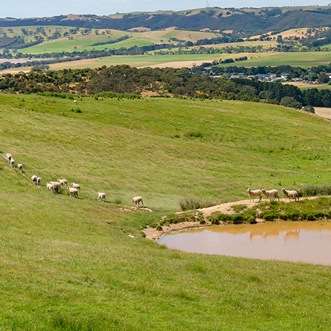
The Limestone Coast covers an area of approximately 28,000 square kilometres. It is located in the south-east of South Australia, stretching northwards from the Victorian border near Mount Gambier to Bordertown. The area includes Naracoorte Caves National Park, Blue Lake and Woakwine Cutting. The area is known for its beaches and coastline, and wine production.
Key project benefits
Learn more
- Learn more about Science at the NWGA.
- Read about the project: Contemporary technical, feasibility and economic viability of the Bradfield Scheme.
- Read about the project: Future hydroclimatic systems impact assessment.

